Location Isle of Man: Where Is It and Why Visit It
The Isle of Man sits in the middle of the Irish Sea, between Great Britain and Ireland. This guide explains exactly where it is, how big it is, what its status means, and why visitors go.
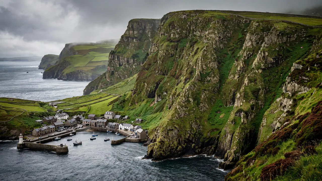
Ask someone where the Isle of Man is, and you will often get a pause. People have heard the name — from the motorcycle races, from the Manx cat, from a flag with three legs — but placing it on a map is another matter. The short answer is simple: the location Isle of Man is in the middle of the northern Irish Sea, between the islands of Great Britain and Ireland, in north-western Europe. It is closer to Scotland than to any other neighbour, and it is almost equidistant from England, Northern Ireland, Scotland, and Wales.
That middle-of-the-sea position explains a great deal about the island: its history, its weather, its wildlife, and even its politics. An island that belongs fully to neither Britain nor Ireland, but sits between them, has always had to chart its own course. This guide explains exactly where the Isle of Man is, how big it is, what it is politically, what its landscape and towns are like, and how visitors actually get there.
In this article
- Where Exactly Is the Isle of Man?
- How Big Is the Island?
- What Is the Isle of Man Politically?
- The Main Towns
- The Landscape
- Getting There
- When to Visit
- What the Isle of Man Is Known For
- Frequently Asked Questions
Where Exactly Is the Isle of Man?
Key: location. The Isle of Man is an island in the Irish Sea, between Great Britain and Ireland.
Key: coordinates. The island sits at approximately 54°15′N, 4°30′W.
Key: nearest neighbour. The closest land is southern Scotland.
Picture the British Isles as a rough arrangement of two large islands — Great Britain to the east and Ireland to the west — with a sea between them. The Isle of Man sits in that sea, in its northern part, roughly in the centre. If you draw a line from the south-west coast of Scotland to the north-west coast of England, the island lies close to the middle of that stretch of water.
That position is sometimes described as “almost equidistant” from the four nations around it, and that is broadly true, though Scotland is the closest. The distances are not huge by sea standards. The island is within a few hours by ferry from ports in England, Scotland, Northern Ireland, and the north-west of England, which is why ferry routes run in several directions and why the island has always been connected to all of its neighbours rather than dominated by one.
One common confusion is worth clearing up at the start. The Isle of Man is not part of England, Scotland, Wales, or Northern Ireland, and it is not part of the United Kingdom. It is also not part of Ireland. It is its own jurisdiction, sitting geographically between the two large islands but politically separate from both. That distinction is explained in more detail below, because it affects everything from the island’s laws to its stamps, its currency, and its internet domain.
The Island and Its Small Neighbours
The political unit called the Isle of Man includes more than just the main island. It also includes a handful of small islands and islets nearby. The best known is the Calf of Man, a small island off the south-west tip, which is seasonally inhabited and is known as a bird sanctuary. Chicken Rock, off the south-west coast, carries an unmanned lighthouse. St Patrick’s Isle and St Michael’s Isle are connected to the main island by causeways and roads, so they feel like part of the mainland rather than separate islands. For most visitors, though, “the Isle of Man” means the main island itself, and that is what this guide focuses on.
How Big Is the Island?
Key: size. The Isle of Man is about 52 kilometres (32 miles) long and, at its widest, about 22 kilometres (14 miles) wide.
Key: area. The island covers around 572 square kilometres (221 square miles).
Key: coastline. The coastline runs for about 160 kilometres (99 miles).
Those numbers make the Isle of Man a medium-sized island: larger than many people imagine, but small enough to explore thoroughly in a few days. To put the area in perspective, the island is slightly more than three times the size of Washington, D.C., and slightly smaller than Saint Lucia in the Caribbean. It is also roughly a third of the size of the English county of Hertfordshire, if that comparison helps.
The practical consequence of the size is that nothing is very far away. You can drive from one end of the island to the other in about an hour, and from the east coast to the west coast in well under an hour. That compactness is part of the island’s appeal: a visitor can have breakfast in the capital, walk in the hills by late morning, and watch the sunset over the Irish Sea from the west coast in the evening, all without rushing.
The island’s population is around 85,000 people, with most living in the towns along the coasts, especially in and around Douglas in the south-east. The interior is quieter, with farmland, hills, and small villages. The population density is modest, and outside the towns the island can feel remarkably open and peaceful.
What Is the Isle of Man Politically?
Key: status. The Isle of Man is a self-governing British Crown dependency.
Key: head of state. The head of state is the monarch, who holds the title Lord of Mann.
Key: not the UK. The Isle of Man is not part of the United Kingdom, and it is not part of the European Union.
This is the part that confuses most people, so it is worth taking slowly. A Crown dependency is a territory for which the British Crown is responsible in certain respects, but which governs itself in most domestic matters. The Isle of Man has its own parliament, its own government, its own laws, and its own courts. The United Kingdom is responsible for the island’s defence and for its external relations, and it retains a responsibility for the island’s ultimate good governance, but day-to-day government is Manx.
The island’s parliament is called Tynwald, and it claims to be the oldest continuous parliament in the world, with roots going back to the Viking period. Tynwald is bicameral: it has a Legislative Council and a House of Keys, whose members are directly elected. The head of the island’s government is the Chief Minister, and the monarch is represented on the island by a Lieutenant Governor.
For visitors, the practical effects of this status are mostly small but noticeable. The island issues its own banknotes and coins, though British pounds are also accepted, and it has its own postage stamps. Its internet domain is .im. Its vehicle registration plates are Manx. Its phone dialling code is +44, shared with the United Kingdom, and its postcode system follows the British pattern. Travellers from the United Kingdom and Ireland do not need a passport to visit in the usual sense, though carrying photo identification is sensible, and the island is part of the Common Travel Area, which means movement between the island, the United Kingdom, Ireland, and the Channel Islands is generally straightforward.
The island also has its own language, Manx Gaelic, alongside English. Manx is a Celtic language closely related to Irish and Scottish Gaelic. It nearly died out as a spoken language in the twentieth century, but it has seen a revival, and it is now taught in schools and used on road signs, alongside English. The Manx name for the island is Ellan Vannin, and the adjective for things from the island is Manx — Manx cats, Manx music, Manx laws, and Manx people.
The Main Towns
Key: capital. Douglas is the capital and largest town of the Isle of Man.
Key: other towns. Peel, Ramsey, and Castletown are the other main towns.
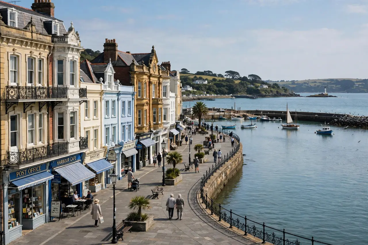
Douglas sits on the east coast, on a wide, curving bay, and it is where most visitors arrive, whether by sea or by air. The town has a long seaside promenade lined with Victorian buildings, hotels, and guest houses, and it is the island’s commercial and administrative centre. The promenade, the harbour, and the town centre give Douglas a classic British seaside feel, with a Manx twist: horse-drawn trams still run along the promenade in season, and the town’s electric railway connects Douglas with the north of the island.
Peel, on the west coast, is a fishing town with a harbour, a castle on St Patrick’s Isle, and a reputation for excellent seafood, especially kippers. Peel Castle, built on the site of earlier Viking and Celtic settlements, overlooks the harbour and the bay, and it is one of the island’s most photographed places. Sunset from Peel is a local ritual, and on a clear evening the town’s west-facing bay fills with people watching the sun go down over the sea.
Ramsey, in the north, is the island’s second-largest town, with a harbour, a beach, and a quieter, more local feel than Douglas. Castletown, in the south, was the island’s historic capital and is home to Castle Rushen, a well-preserved medieval castle that dominates the town square. Castletown is smaller and more historic in character, and it gives a good sense of what the island looked like before Douglas grew into the modern capital.
Smaller villages are scattered across the island, from Port Erin and Port St Mary in the south to Kirk Michael and Ballaugh in the west. Each has its own character, and driving between them is one of the pleasures of visiting: the roads are quiet, the scenery changes quickly, and there is almost always a tearoom, a pub, or a coastal viewpoint within a few miles.
The Landscape
The Isle of Man’s landscape is varied for such a small island, and that variety is a big part of why people visit. Ranges of hills in the north and south are separated by a central valley, and the northern plain is relatively flat, formed from glacial deposits. The island’s one mountain above 600 metres is Snaefell, at about 620 metres (2,034 feet). An old saying claims that from the summit of Snaefell, on a clear day, you can see six kingdoms: Mann, Scotland, England, Northern Ireland, Wales, and Heaven. Some versions add a seventh, the kingdom of the Sea. Whether or not you believe the saying, the view from the top, reached by the Snaefell Mountain Railway from Laxey, is genuinely wide-ranging.
The coast is just as varied as the interior. There are rocky cliffs, sandy beaches, shingle shores, and quiet coves, and the Raad ny Foillan, the Way of the Gull, is a long-distance footpath that runs about 153 kilometres (95 miles) around the whole coast. Walkers can tackle the whole route over several days or pick a section for a day walk. The coastal path passes through towns, villages, farmland, and wild cliff tops, and it is one of the best ways to understand the island’s geography at walking pace.
Inland, the island is a patchwork of farmland, moorland, and wooded glens. The glens — narrow, wooded valleys, often with streams and waterfalls — are a distinctive feature of the Manx landscape, and several are maintained as public glens with footpaths and picnic areas. The island’s climate is temperate, with cool summers and mild winters, and it is overcast for a good part of the year, though the Gulf Stream influence keeps winters milder than the latitude might suggest. High winds and rough seas are the main natural hazards, and they are worth respecting when planning coastal walks or ferry crossings.
The island’s natural environment has earned it recognition as a UNESCO Biosphere Reserve, covering the whole island and its surrounding seas. The marine environment is rich in wildlife, including basking sharks, seals, and a variety of seabirds, and the Calf of Man is a bird observatory and sanctuary. For nature lovers, the island offers a surprising amount of wildlife for its size, and the lack of large-scale development means dark skies and quiet nights are still easy to find.
Getting There
The Isle of Man is reached by sea or by air, and both routes are straightforward. Ferries run to Douglas from Heysham and Liverpool in England, from Belfast in Northern Ireland, and from Dublin in Ireland, with additional seasonal services. The crossing from Heysham takes around three and a half to four hours, while faster crossings from Liverpool take under three hours. Ferry timetables vary by season, and booking ahead is wise, especially in summer and during major events.
By air, Isle of Man Airport at Ronaldsway, near Castletown in the south, has flights to and from several cities in the United Kingdom and Ireland, including London, Manchester, Liverpool, Dublin, and Belfast, with additional seasonal routes. The airport is small and easy to navigate, and the island’s bus and taxi services connect it with Douglas and the rest of the island.
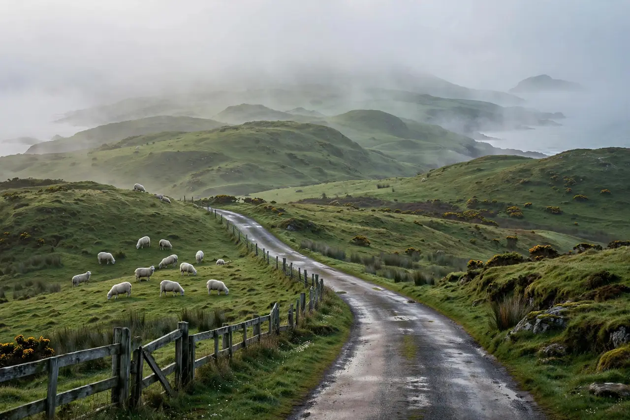
Once on the island, getting around is part of the experience. The island has a bus network, and it also has heritage railways that are attractions in their own right: the Isle of Man Steam Railway runs between Douglas and Port Erin, the Manx Electric Railway runs between Douglas and Ramsey, and the Snaefell Mountain Railway climbs to the island’s highest point. Hiring a car is also easy and gives the most flexibility, especially for reaching remote glens and coastal viewpoints. Driving is on the left, as in the United Kingdom and Ireland, and the island’s roads are generally quiet outside the towns.
A Note on the TT
No account of the Isle of Man is complete without mentioning the TT races, the famous motorcycle road races held on the island’s roads. The TT course is a 37-mile circuit on public roads, and during race fortnight the island’s population swells with visitors, and accommodation books up far in advance. If you want to attend the TT, plan months ahead. If you want a quiet visit, avoid race fortnight, and enjoy the same roads at a gentler pace.
When to Visit
The Isle of Man is a year-round destination, but the experience changes with the seasons. Summer, from June to August, brings the warmest weather, the longest days, and the fullest programme of events, including the TT in late spring and early summer and a range of festivals, agricultural shows, and outdoor activities. Spring and autumn are quieter and can be beautiful, with wildflowers in spring and autumn colours in the glens, though the weather is more changeable.
Winter is the quietest season. Some attractions and heritage railways close or reduce their hours, and ferry crossings can be affected by rough seas. But winter also brings a different kind of charm: empty beaches, dramatic skies, and a sense of having the island to yourself. Whatever the season, packing layers and a waterproof jacket is sensible, because Manx weather can change quickly, and a sunny morning can turn into a wet afternoon without much warning.
What the Isle of Man Is Known For
Beyond its location, the Isle of Man is known for a handful of distinctive things that visitors often encounter. The Manx cat, famous for having no tail or a short tail, is the island’s best-known animal, though taillessness is a genetic trait that also occurs in other cats. The island’s three-legged symbol, the triskelion, appears on the flag and on coins, and it is said to represent the island’s ability to stand firm whichever way it is thrown.
The island is also known for its financial services sector, which grew significantly in the later twentieth century, and for its motorcycle races, its heritage railways, and its Manx language revival. Its food includes Manx kippers, Queenies (small scallops), and Manx cheese, and its pubs and restaurants make good use of local produce. None of these things is the reason most people first look up the island’s location, but they are the reasons many visitors return.
Frequently Asked Questions
Where is the Isle of Man located?
The Isle of Man is located in the middle of the northern Irish Sea, between Great Britain and Ireland, in north-western Europe. Its coordinates are approximately 54°15′N, 4°30′W, and the closest land is southern Scotland.
Is the Isle of Man part of the UK?
No, the Isle of Man is not part of the United Kingdom. It is a self-governing British Crown dependency, with its own parliament, government, and laws. The United Kingdom is responsible for its defence and external relations.
What is the capital of the Isle of Man?
The capital is Douglas, on the east coast. It is also the island’s largest town, and it is where most visitors arrive by ferry or air.
How big is the Isle of Man?
The island is about 52 kilometres (32 miles) long and up to 22 kilometres (14 miles) wide, with an area of around 572 square kilometres (221 square miles) and a coastline of about 160 kilometres (99 miles).
How do you get to the Isle of Man?
You can reach the Isle of Man by ferry from England, Northern Ireland, or Ireland, or by air to Isle of Man Airport at Ronaldsway, near Castletown. Ferries arrive in Douglas, and flights connect the island with several UK and Irish cities.
Do you need a passport to visit the Isle of Man?
The Isle of Man is part of the Common Travel Area, so travel from the United Kingdom, Ireland, and the Channel Islands is generally straightforward. Carrying photo identification is sensible, and visitors from outside the Common Travel Area should check the relevant entry requirements before travelling.
What language is spoken on the Isle of Man?
English is the main language, and Manx Gaelic, a Celtic language related to Irish and Scottish Gaelic, is also used, taught in schools, and seen on road signs. The Manx name for the island is Ellan Vannin.
What is the Isle of Man famous for?
The Isle of Man is famous for the TT motorcycle races, the Manx cat, its three-legged triskelion symbol, its heritage railways, its status as a UNESCO Biosphere Reserve, and its long history as a self-governing island between Britain and Ireland.
WRITTEN BY: The adailyinsight360.com editorial team covers geography, travel, and everyday explainers that answer the questions readers actually search for.
Reead Also: Columbus Day 2026: Date, History, and What Is Open
You can also find practical home and lifestyle guides at homewaterinsights.com and more general explainers at dailyscope67.com.
#location-isle-of-man

Related Articles

5 Pillars of Muslim Faith Explained Simply (2026 Guide)
The Five Pillars of Islam — Shahada, Salah, Zakat, Sawm and Hajj — are the foundation…

Conferences 2024: Education Events Guide and Lessons
Conferences in 2024 gave educators a busy year of in-person and hybrid events. This guide looks…

Felony Explained: What It Means, Types, and Consequences
A plain-English explainer on what a felony is: the definition, felony vs. misdemeanor, common types and…
1 Comment